It was sad to leave the 4 B’s and Lisa this morning. Lisa went west to take them to the Salt Lake City airport and I pointed my car east toward Gillette, Wyoming. I had three routes I could take, one taking 7 1/2 hours, one taking 8 hours, and one taking 8 1/2. I went with the middle one. As I wanted to see more sites off the beaten path. I drove on plenty of rural highways, often times I could not see a car in front or behind me. And if you have driven in Wyoming, the roads can be straight and long.
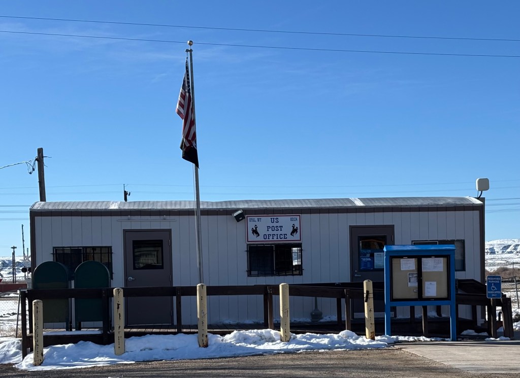
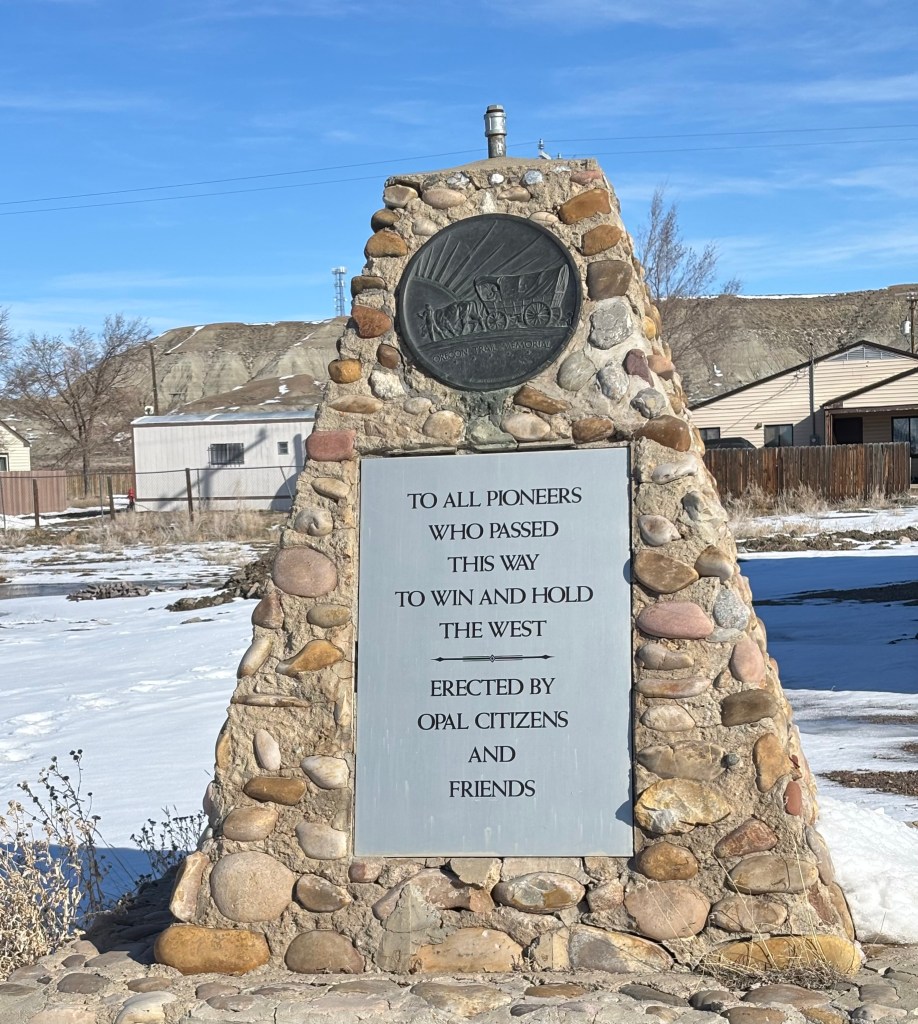
As I was driving down the road, I came upon Opal, Wyoming. I has a population of 64 and consists of a handful of buildings. This was my favorite.

Even 64 people need a post office.
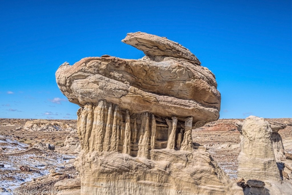
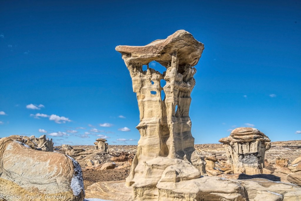
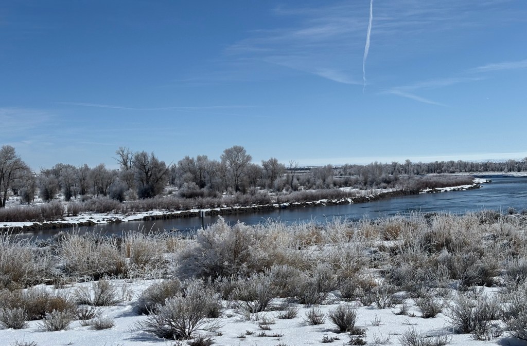
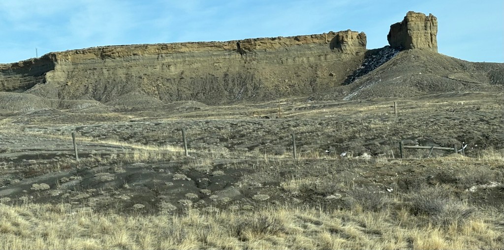
As I headed north, the route dipped me into the Seedskadee National Wildlife Refuge. I did not see any wildlife, although I saw a herd of Pronghorn Antelope next to the road several miles before I came into the Refuge. Animals do not acknowledge man made boundaries. However, they do run away if you stop the car to take a picture. The Wildlife Refuge was stunning, though.

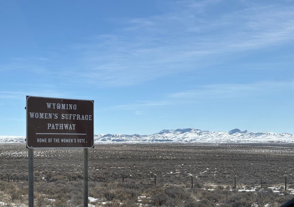
As I came out of the refuge, this sign was along the road.
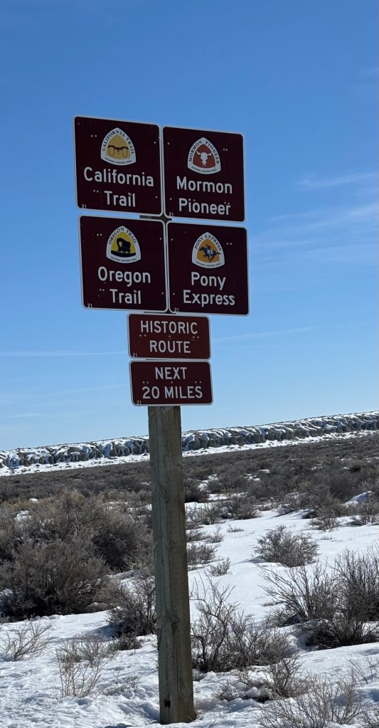
For those unfamiliar with these, here is a bit of history. If you don’t care, skip ahead.
The California Trail was an emigrant trail across the western half of the North American continent from the Missouri River towns to what is now the state of California. Over 250,00 emigrants traveled to the gold fields and farmlands of California during the 1840s and 1850s: the greatest mass migration in American history. This trail was over 5,000 miles long and covered portions of 10 states. (The infamous Donner-Reed party were on this trail).
The Mormon Trail was the 1,300 mile route traveled by Mormons who fled Nauvoo, Illinois to the Great Salt Lake Valley in 1846-1847. Due to anti-Mormon sentiment, an orderly spring 1846 evacuation of 15,000 was planned, but as anti-Mormon violence increased, a group of church leaders left in late winter hoping this would appease non-Mormons. The main body of the group would follow later. On March 1, 1846, some 500 Mormon wagons lurched northwesterly across the winter-bare Iowa prairie to the Missouri River.
The Oregon Trail, besides being a computer game where you try not to come down with dysentery, was a trail used by people trying to get to Oregon Country. In 1800, America’s western border reached only to the Mississippi River. After the Louisiana Purchase in 1803, it was pushed to the Rocky Mountains and the country nearly doubled in size. Yet the wilderness known as Oregon Country (which included present day Oregon, Washington, and part of Idaho) still belonged to the British. This fact made many Americans eager to settle the region and claim it for the United States. In 1836, the first wagons were used to trek from Missouri to Oregon. In the spring of 1843, a wagon train of nearly 1,000 people organized at Independence, Missouri with plans to reach Oregon Country. Faced with an overwhelming number of naysayers, the so-called “Great Migration” departed and made it safely to Oregon. By 1846, thousands of emigrants, who were drawn to the west by cheap land, patriotism, or the promise of a better life, found their way to Oregon Country. With so many Americans settling the region, it was obvious to the British that Oregon was no longer theirs. They ceded Oregon Country to the US that year.
Long before the email, cell phone, landline phones (yes young readers, there was a time before those things), young men once rode horses to carry mail from Missouri to California in the astounding time of only 10 days. This 1,800 mile relay system through eight states was the most direct and practical means of east-west communications before the telegraph (ask your parents). As a result of the Gold Rush, Mormon exodus to Utah, and the thousands that moved west on the Oregon Trail starting in the 1840s, the need for speedy mail service beyond the Rocky Mountains became obvious. Some overland mail service existed but when it was scaled back in 1858, the Leavenworth & Pike’s Peak Express Company was created. It was later known as the Pony Express. In 1860, about ten weeks after the Pony Express began operations, Congress authorized a bill to subsidize the building of a transcontinental telegraph line to connect the Missouri River and the Pacific Coast. By October 1861, San Francisco was in direct contact with New York City and the Pony Express was terminated. But it wasn’t until November that the last letters completed their journey over the route.
That was probably more than you ever wanted to know about those trails. But now you know more than you did before you started reading (yeah, not to read this blog any more).
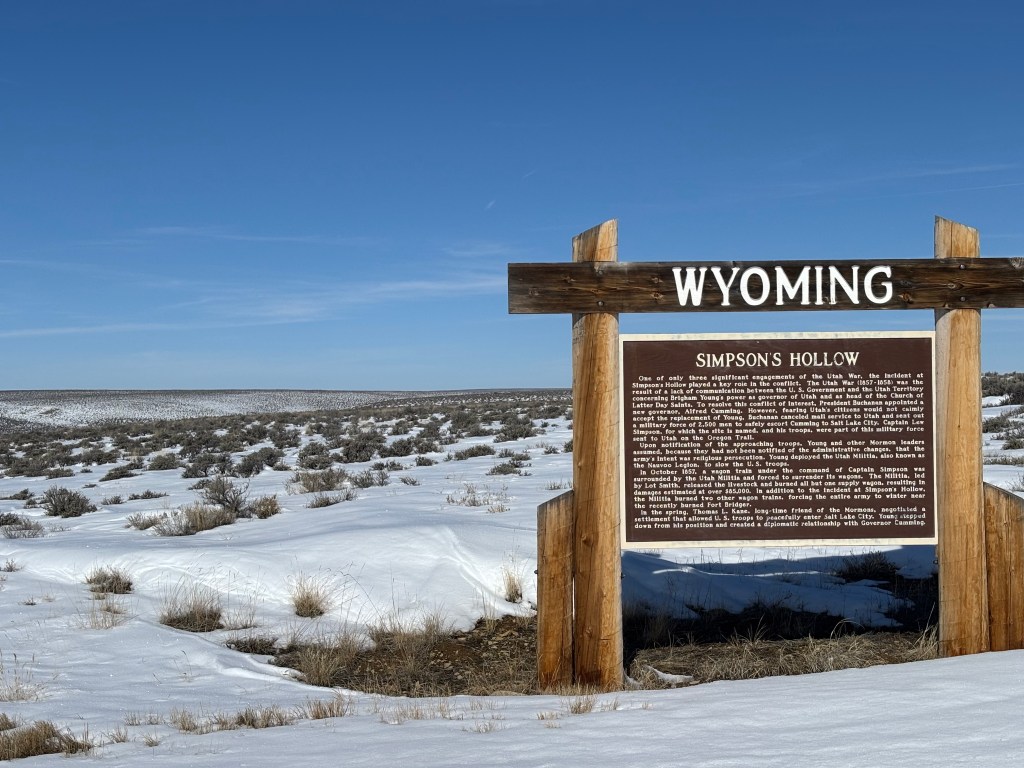
Moving on. The following are more sights from the journey to Gillette:
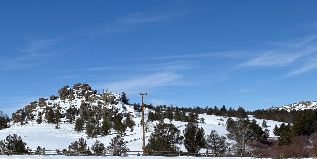

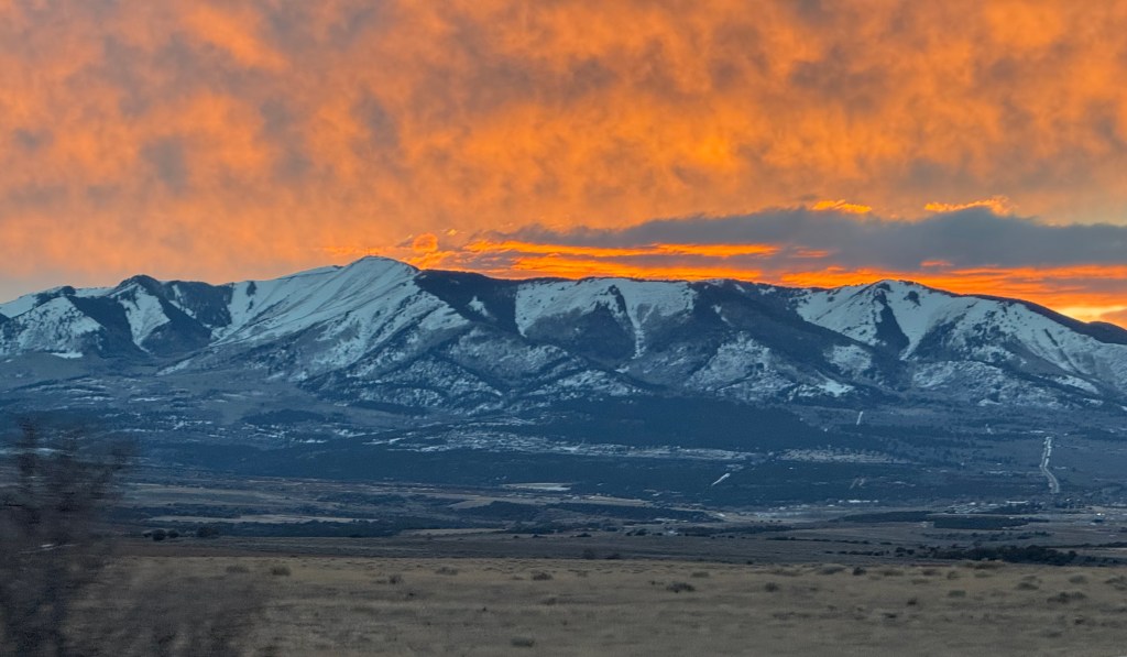
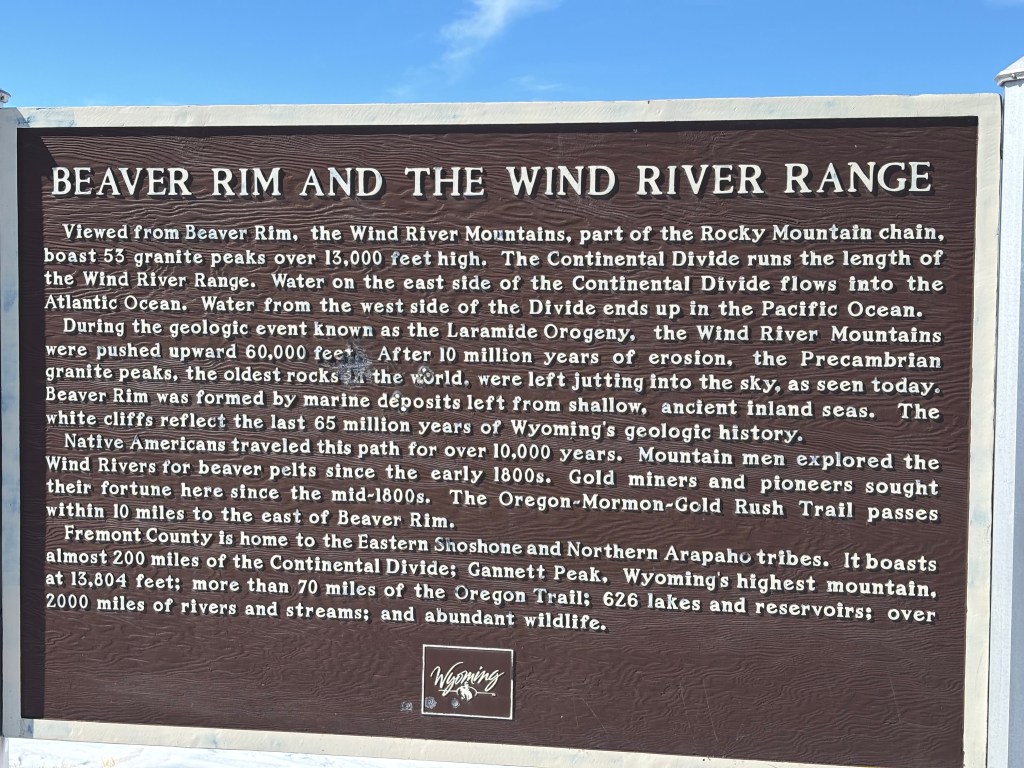
The next two go together. And I almost blew into the valley when I got out of the car, it was so windy.

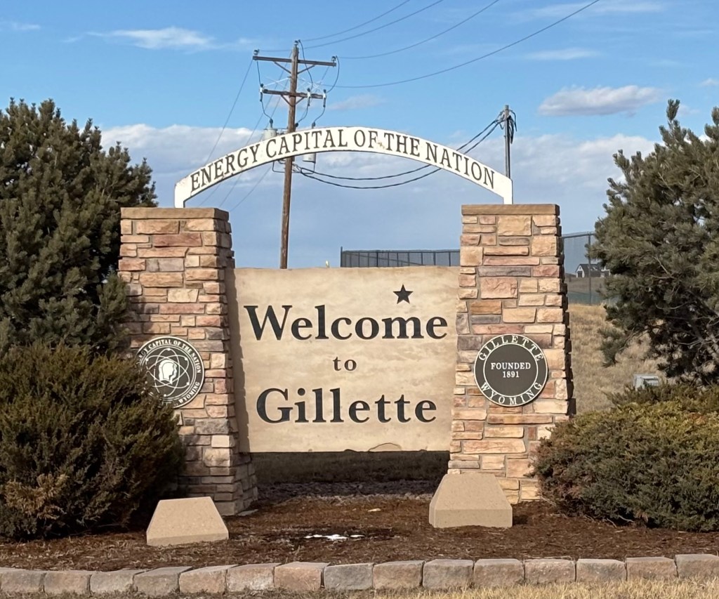
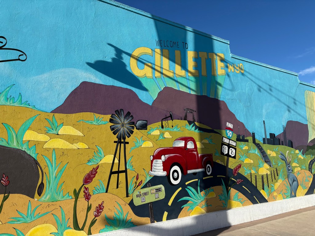
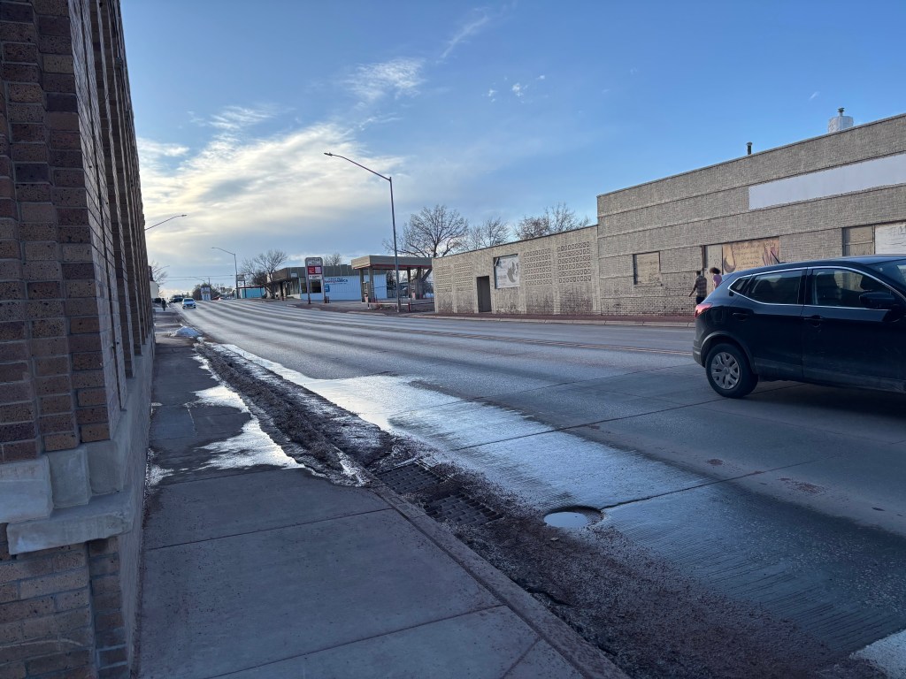
I unloaded the car at the hotel and then quickly went to historic Gillette before it got dark. (Thank you Daylight Saving Time for the extra hour of sun. I will not be thanking you tomorrow when I leave in the dark).
The Visit Gillette website recommended an app called TravelStorys that provides self guided audio tours of historic places you might happen to be near. So I downloaded that and walked up and down Main Street Gillette.
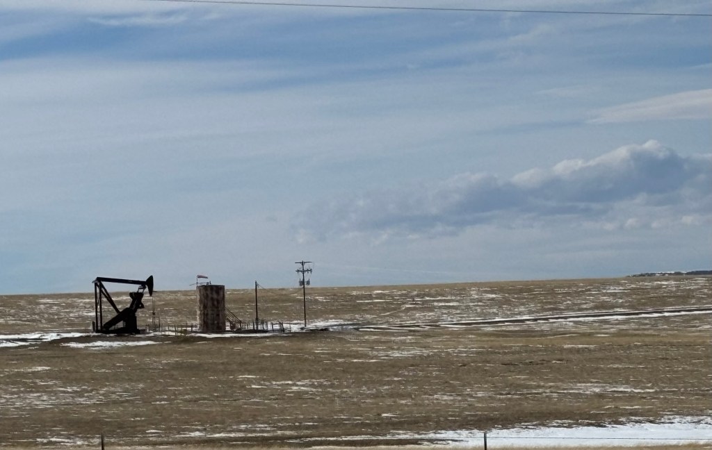
Gillette was founded in 1891 as a major railway town on the Chicago, Burlington, and Quincy Railroad. At approximately, 33,500 people, it is the 3rd most populous city in Wyoming after Cheyenne and Casper. The population increased by 48% in the ten years after the 2000 census due to the boom in its local fossil fuel industries. Gillette is located in an area with vast quantities of coal, oil, and coal bed methane gas.
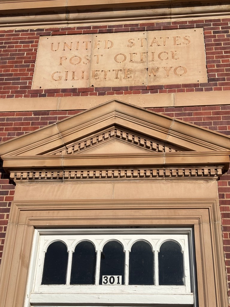
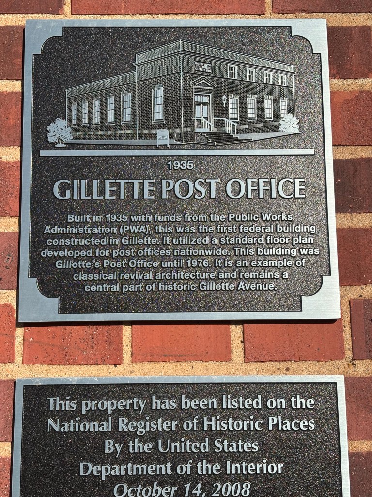
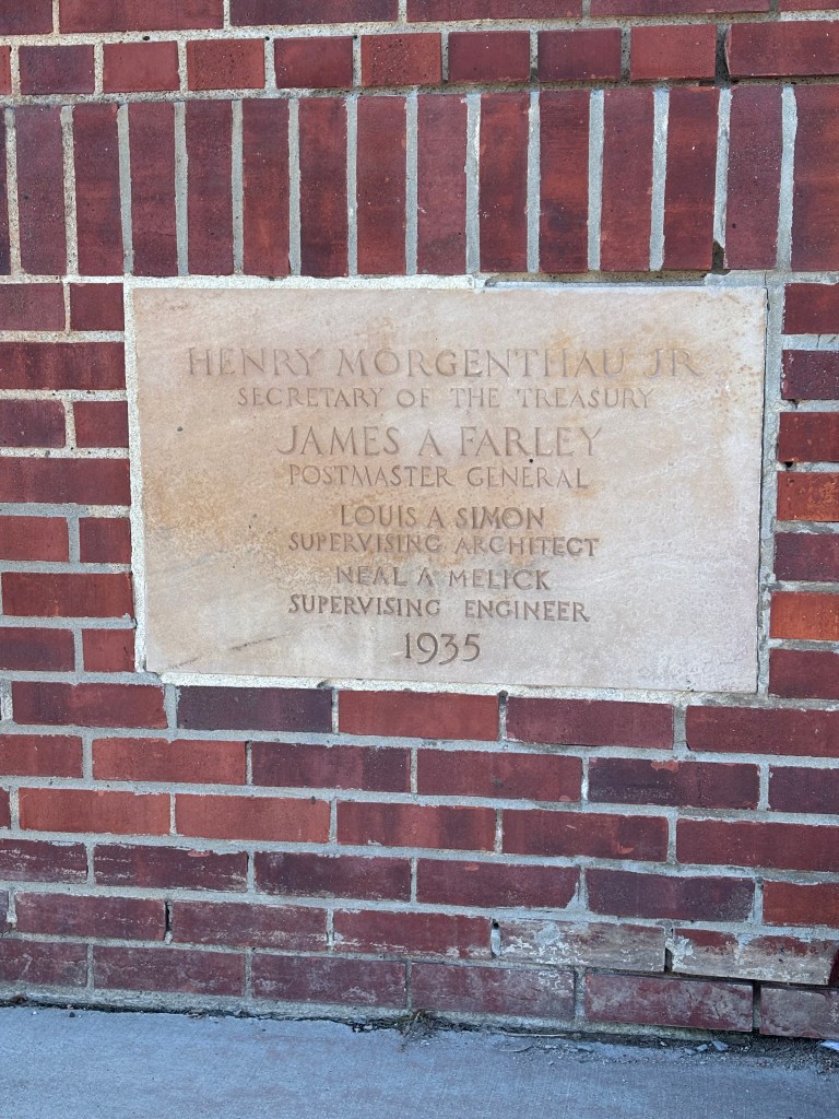
The Gillette City Hall was built during the Depression, entirely with city funds at a time when most communities needed additional funds from the federal government for a project of this size. A $30,000 expenditure by a city the size of Gillette, was comparable to a 30 million dollar expenditure by a city like New York.
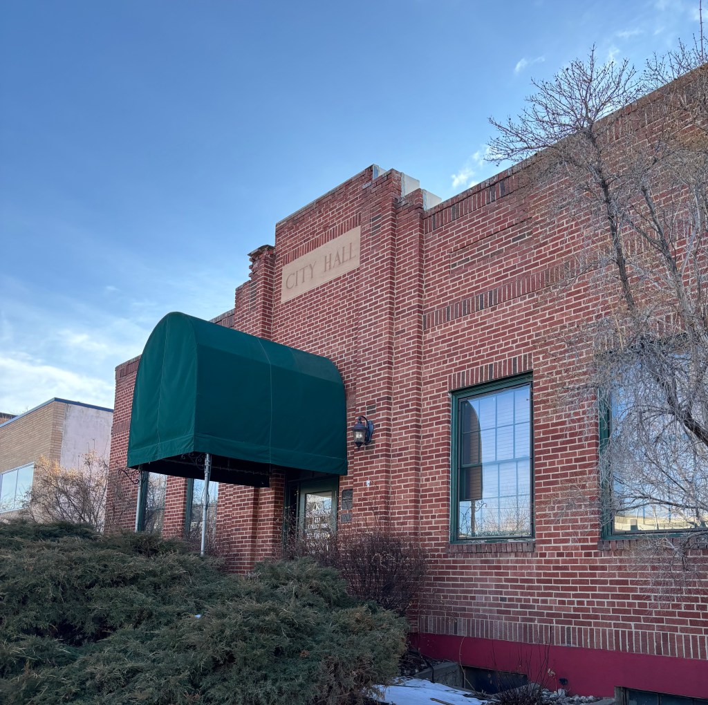
This building housed the Post Office from 1935 -1976. It currently contains a brewery.
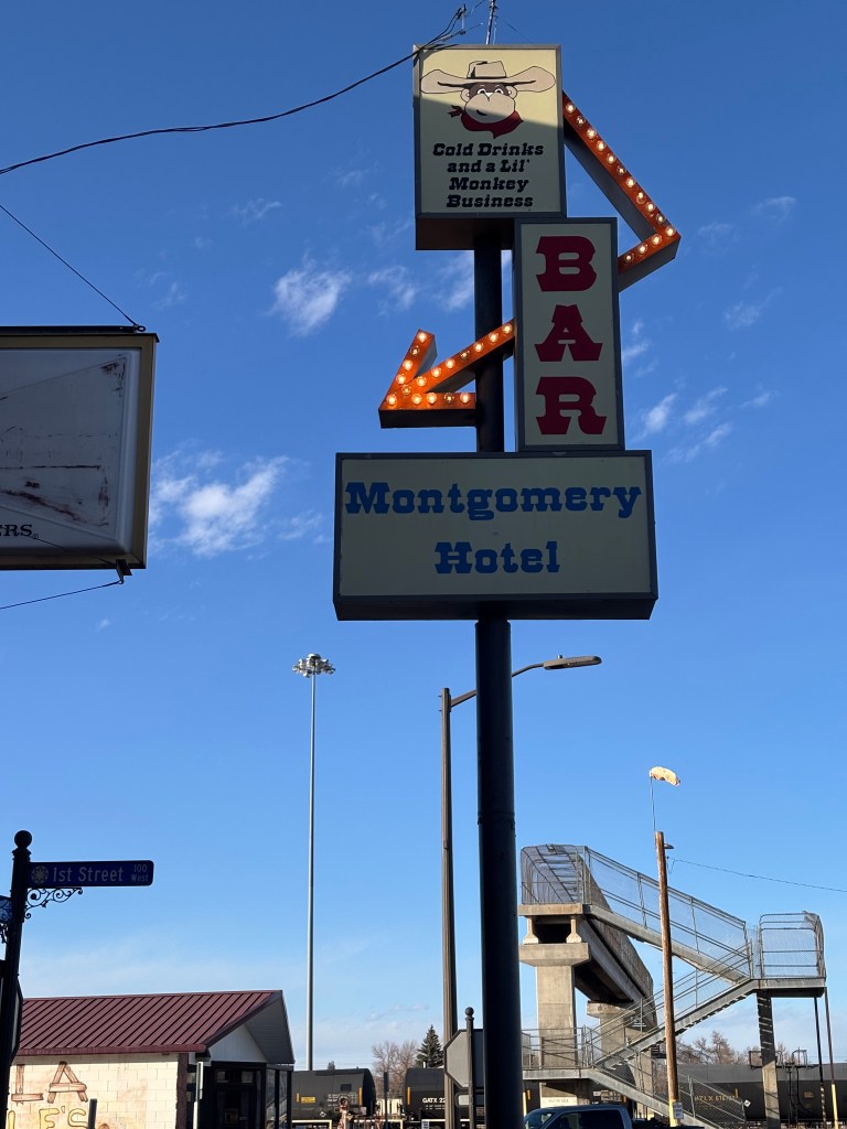
The building that houses the Montgomery Bar was constructed in 1911. Roy Montgomery did not own the building but was the manager of the bar for a number of years. In 1914, he wanted to be the Mayor of Gillette so he could continue the gambling, drinking, and prostitution he offered in his bar. He called out the mayor at the time, and beat him to a pulp in the middle of the street. He then announced to the City Council members that had gathered around that he was the new mayor and they agreed! (Apparently, they did not want to join the old mayor, lying in the street). He set up the new mayor’s office in the bar. He also owned a brothel and continued to own it as mayor. He was arrested in 1915 for bringing girls from other states to work in the brothel. He protested, saying he hired them as waitresses for the bar. He served a two year sentence in Leavenworth, earning a law degree while incarcerated. When he was released, he returned to Gillette, continued ranching, served as mayor again, and became a State Senator.

This bar was established as Elite Bar in 1941.When sheep-herders and cowboys got paid, they came to town looking for a drink. They would leave most of their pay with the owner for safekeeping. That way, when they started drinking, they wouldn’t spend it all. When they sobered up, they would get the rest of their money and head back to the ranch. The next owners renamed it the Center Bar. It had a job jar where men needing work could put in their name and wait for a ranch foreman or oil field worker needing help to pull names out of the jar. There was also a side door for women, because women could not be seen entering the front door of a bar. It also had a water spigot on the outside front wall where residents could fill buckets of water to use at home. For $10 a month, a resident could buy water from this spot, supplied by the railroad, and carry it home.

This road was part of the Black and Yellow trail. It was a stretch of highway that spanned five states, providing a gateway to the West during the 1920s and 1930s. Beginning in Chicago, it crossed Illinois, Wisconsin, Minnesota, and South Dakota, ending in Wyoming. It runs along the modern-day US 16 and was named based on the access the road provided to both the Black Hills of South Dakota and Wyoming’s Yellowstone Park.
This is not historic, but I do think it shows how Gillette residents view the seasons. Note the Midwinter Jamboree will be held a week before the official start of spring.

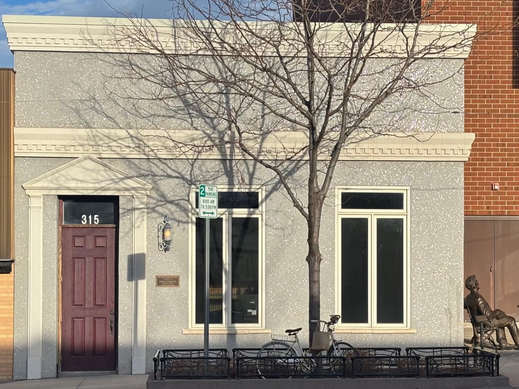
I have not idea what this building is made of, but I liked how it sparkled in the sun.
Goodnight, Gillette. I am off to bed to get ready for another day of adventure and driving.